El Nino is back, but its effects vary widely / Photo: © AFP
The US National Oceanic and Atmospheric Administration announced Thursday the return of El Nino: the warm phase of a natural climate cycle linked to higher global temperatures and wild weather.
The seesawing shift in ocean temperatures and winds forms across the tropical Pacific Ocean but can influence drought, floods, and other extremes thousands of miles away.
Scientists caution that every El Nino is different and strong events like that forecast this year do not guarantee certain impacts -- but tilt the odds in their favour.
- Asia Pacific-
During El Nino, trade winds weaken and atmospheric patterns shift across the tropical Pacific, allowing warm waters around Indonesia to spread eastward toward South America.
Evaporation, cloud and rainfall patterns shift eastward as well, and many parts of Asia experience drier-than-average conditions and drought during El Nino years.
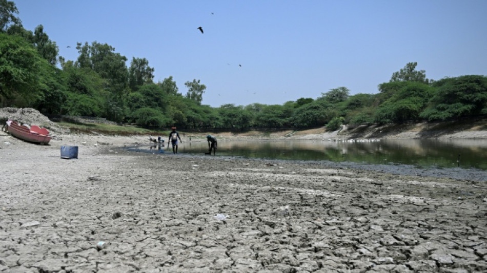
El Nino can also suppress the monsoon over South Asia, depriving India and other parts of the subcontinent of vital rain that supports hundreds of millions of people.
El Nino also raises the likelihood of drought, heatwaves and wildfires in Australia as warmer-than average conditions grip the continent.
This particularly deprives eastern parts of the country of rainfall and sees a later start to the northern wet season -- though less chance of tropical cyclones.
Some of the worst droughts in Australia's modern history have been linked to El Nino years, but scientists caution that even strong events do not always bring below-average rainfall.
- Africa -
El Nino is often associated with increased rainfall in parts of the Horn Africa.
But swathes of southern, west, central and eastern Africa usually see drier-than-normal conditions, raising the risk of droughts.
The WMO said last month that there was a high likelihood of below-normal rainfall during the critical June-September rainy season in South Sudan, Uganda, Ethiopia, Djibouti, much of Eritrea, Sudan and western and coastal Kenya.
The last El Nino cycle in 2023-2024 brought southern Africa's worst drought in more than a century, leaving 61 million people in need of assistance, according to the Food and Agriculture Organization.
- Americas -
Parts of western South America, including coastal Peru and Ecuador, often see above-average rainfall during strong events, raising the risk of flooding and landslides.
El Nino was linked to deadly flooding in southern Brazil in 2024.
In contrast, the weather pattern is tied to drier-than-average conditions in northern Brazil, increasing the risk of droughts and wildfires, including in the Amazon.
Stormier weather is more likely in the southern United States, with higher chances of rain and snow during winter, as the jet stream over the north Pacific Ocean tends of shifts southward, according to the NOAA.
The US West Coast is more at risk of high tide flooding.
It also affects the formation of cyclones in the Atlantic and the Pacific.
US forecasters have already predicted a "below normal" Atlantic hurricane season as stronger upper-level winds can inhibit storm development.
But El Nino's warm water can fuel cyclones in the central and eastern Pacific during the Boreal summer.
- Global heat -
El Nino events typically peak around December when abnormally warm waters in the tropical Pacific reach their greatest extent.
But the ocean releases that heat into the atmosphere slowly, often driving up global average temperatures the following year.
Many record-hot years -- including 1998, 2010, 2016, 2023 and 2024 -- followed major El Nino events or developed alongside them.
Climate scientists interviewed by AFP have said 2027 was likely to overtake 2024 as the hottest year on record.
M.Wilson--TNT